REAL-TIME
AERIAL FIRE
INTELLIGENCE
Live video and mapping data accessible by fire controllers anywhere, anytime - from the control room to the field.

18 years of Australian aerial firefighting experience
Airview Fire Recon (AFR) has been a trusted partner of Australia’s fire service organizations for over 18 years, driven by our people, processes and technology and a commitment to deliver consistent results year on year.
SERVICES
-
Fire discovery and geolocating
Rapid assessment of new fire size and potential
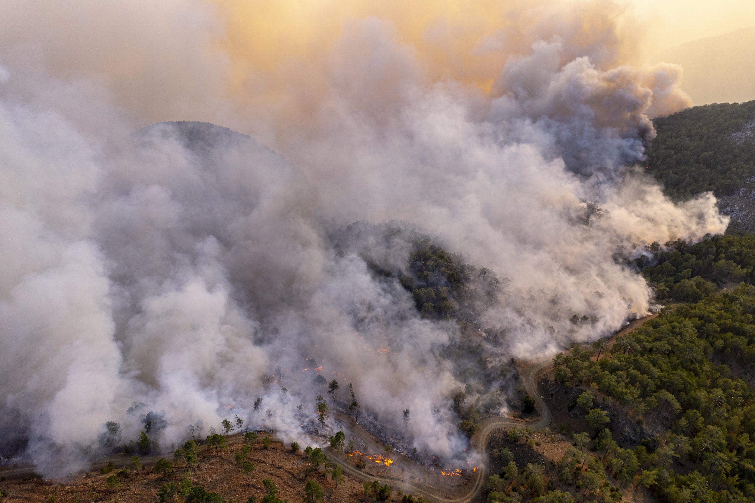
Fire mapping and recon to evaluate, monitor and forecast fire behavior and movement
Identifying hotspots from fire embers or lightning strikes before they are visible to the naked eye
Determination of dwellings under threat to assist in precision firefighting efforts and coordinated evacuation orders
Reconnaissance flights on high fire danger days to continuously scan for smoke columns and fire heat signatures
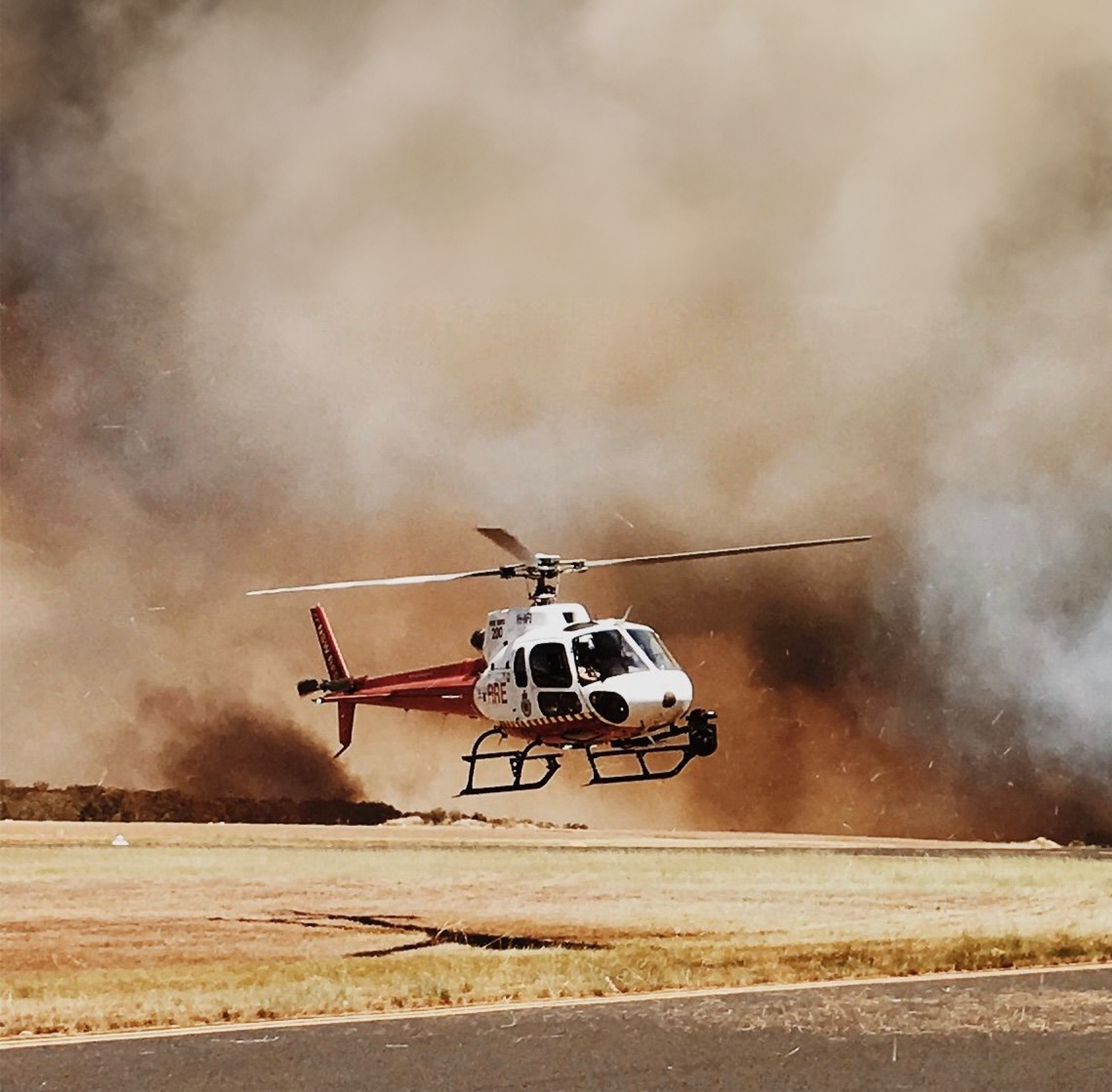
Supporting aerial firefighting operations and air coordination personnel
Post-fire assessment and hotspot mapping
-
Tracking of aerial suppression drops and assessment of their effectiveness
Directing ground crews in and out of critical areas
Locating and surveillance of ignitions caused by arson. Directing law enforcement units to persons of interest
Providing visual and spatial information of fire behavior and hotspotting that may not be visible to ground crews
Holding SAR for aircraft in low areas out of range with HQ
Livestock and animal egress route determination
Search and rescue missions
Flood support operations
Storm damage assessments
-
Providing firefighters with live aerial intelligence about the current and developing state of fire grounds to aid in strategic planning and resource allocation
Up-to-the-minute visual information in the form of an encrypted video stream accessible on any device with internet connectivity, providing a simple yet robust viewing experience to key personnel
Catching hotspots and fire ignitions in the early stages of development to aid aerial and ground crews in the establishment and maintenance of containment lines
High-definition video recorded onboard the aircraft, utilized for post fire assessment, training, fire investigations and archival purposes
Safe vertical separation from aerial suppression aircraft is enabled by the powerful zoom capabilities of our camera systems
Clear view of the active fire edge and spread of embers via infrared vision, allowing for forecasting of new hotspot locations and planning for aerial suppression activities
-
Complete systems for helicopter and fixed wing platforms are available with just under 6 weeks from sign-off to takeoff
All technology and hardware is FAA approved and certified
Available for fixed term contracts
WHAT WE DO
Our technology and expertise help firefighters save lives and protect property, assets, and infrastructure.
PRE FIRE SEASON
Cost and time efficient pre-fire season surveys to identify fuel growth rate, fuel accumulation and vegetation composition. Monitor and survey controlled-burns to avoid fire spread.
DURING FIRE SEASON
Providing data on multiple fire grounds during the day, giving decision makers a way to allocate resources effectively to battle multiple blazes throughout the state.
POST FIRE SEASON
Survey and inspect critical power infrastructure, burnt scars, remaining fire fuel and any other structural or environmental damages. Gather data and aid Forest Service.
ALL HAZARDS RESPONSE
Utilize the systems not only for fire but for all hazards in your state. Our aerial recon solutions can also assist with flooding, mud slides, and coastal and border patrols.

Fire discovery and geolocating. Rapid assessment of new fire size and potential, supplemented with fire mapping and recon to evaluate, monitor and forecast fire behavior and movement

Maintaining a persistent overview of active fire areas, allowing for localized focused aerial suppression efforts to continue while the full fireground is monitored

Providing live updates on multiple firegrounds throughout the day, giving decision makers a way to allocate resources effectively when battling multiple blazes throughout the region

Our mission is to deliver critical live fire data in real-time to those that need it most, every time we fly.
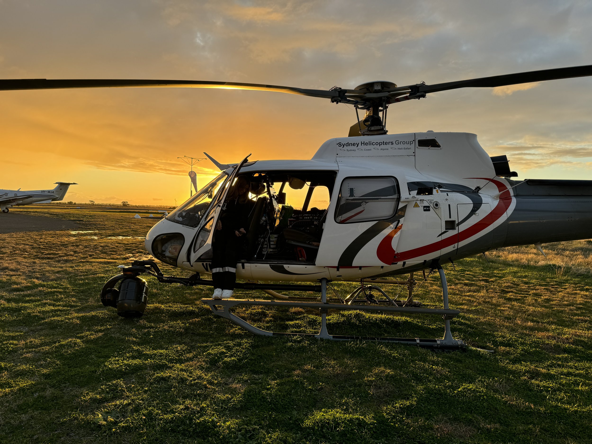
Specialist Intelligence
Gathering (SIG) System

Multisensor gyrostablized gimbal

On board recording of high resolution video

Real-time video and data transfer

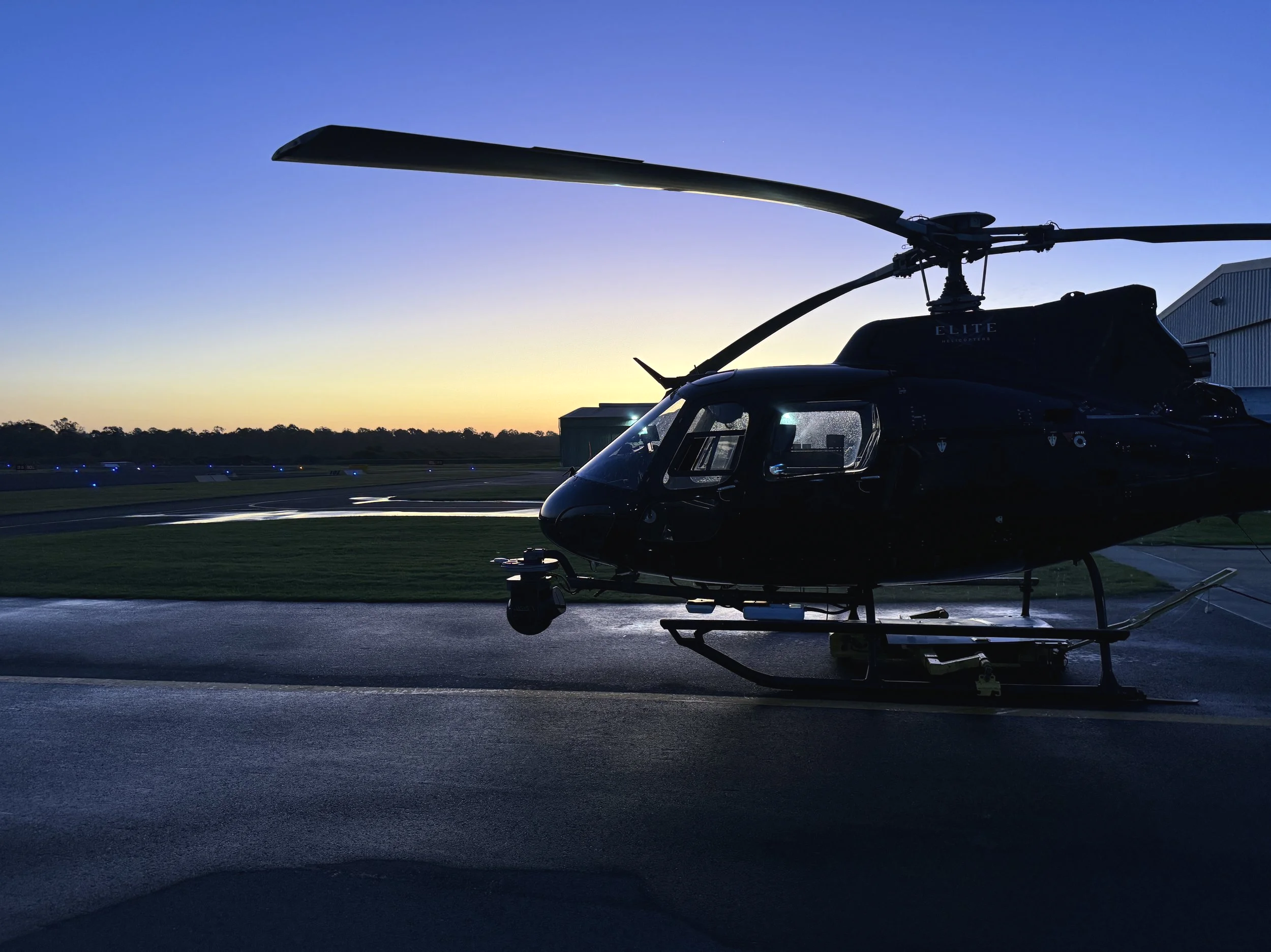
Light helicopter or fixed-wing aircraft platform

Integrated mapping software

Specialized and highly trained onboard operator