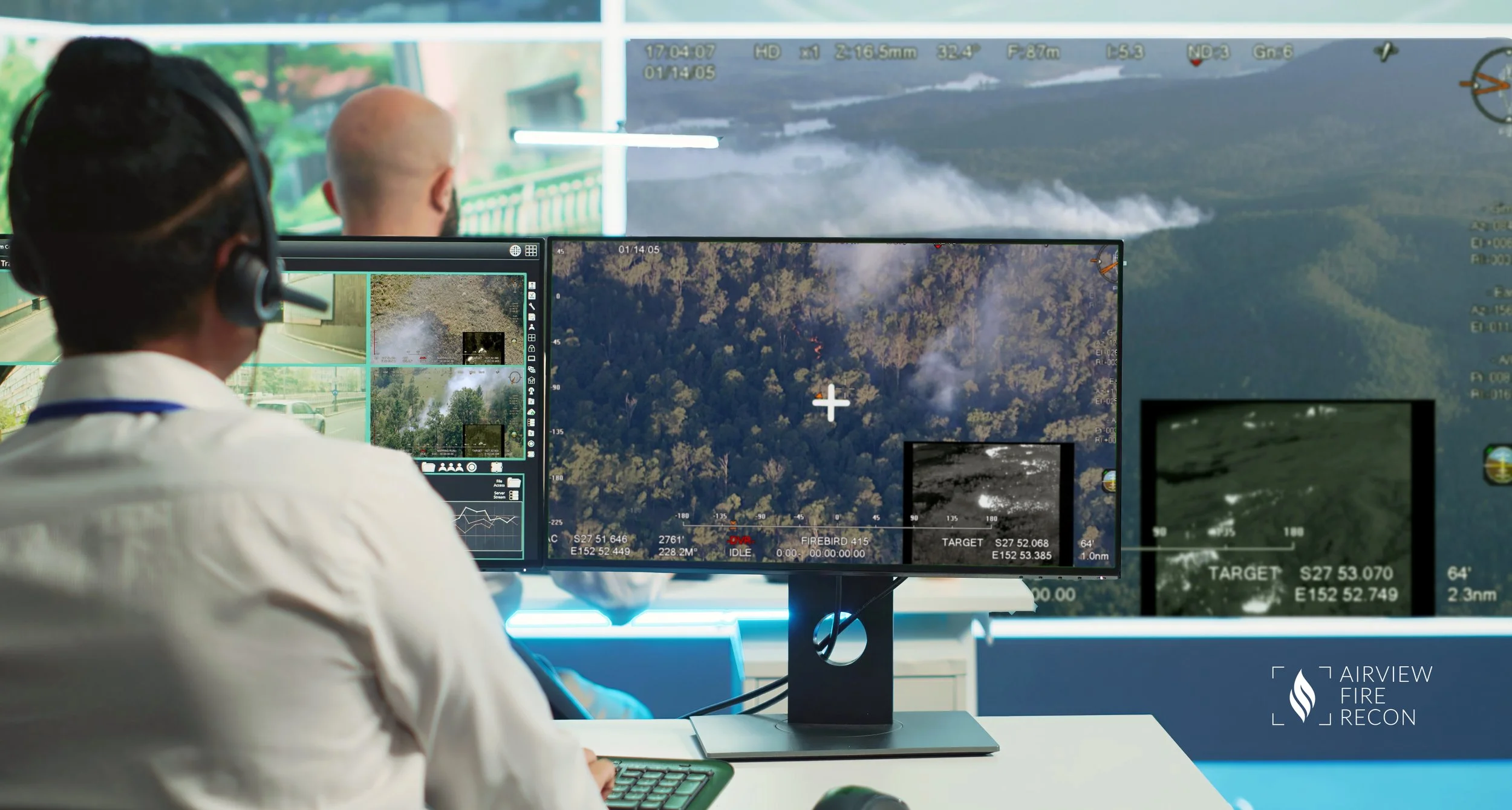
AFR Precision SIG System
Specialist Intelligence Gathering (SIG) system
Dual sensor system with 4K/HD daylight camera and Medium Wave Infrared (MWIR) camera.
State-of-the-art gyro stabilized systems to provide a shake-free image from wide to full zoom.
Up to 42x zoom capability for daylight camera and multi-stage zoom for thermal camera.
Overlay information on video feed, providing situational awareness of aircraft and viewing target location.
Live video streaming via cellular or satellite network
Full HD video recording onboard
Video stream accessible on any device
Mapping Features
AI programming on demand for specific mission & client requirements
Augmented Reality (AR) video with street names and locations overlaid on footage
3D map with view footprint displayed on Google Earth style interface
2D editable map used to mark Points of Interest (POI) and key fire behavior elements like active fire edges, hotspots and dwellings under threat etc.
Viewable in real-time alongside video feed
Seamless exchange between control room and reconnaissance aircraft
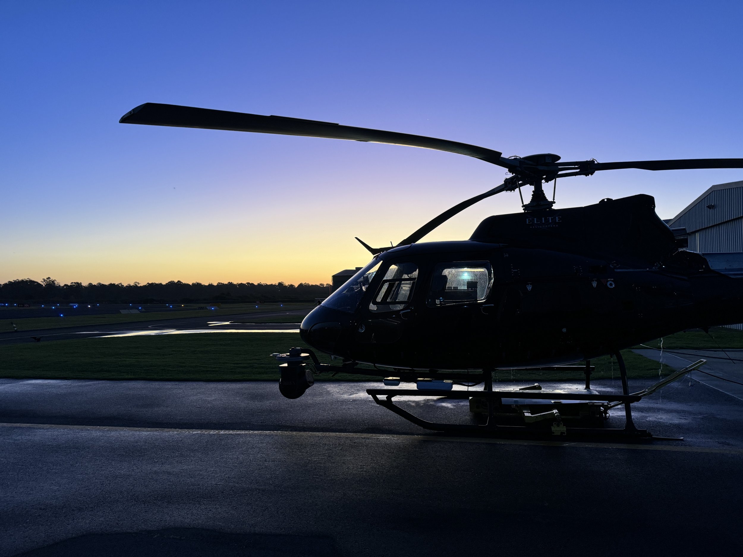
Close development and innovation partnership with gimbal manufacturer and in-house multi-sensor integration